
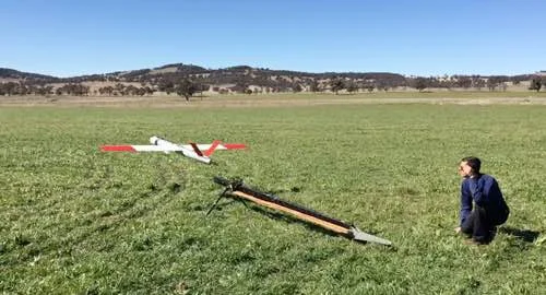
Fire Management, Search & Rescue, and Emergency Response are the core services we provide. Each is customised to meet your specific requirements, and can be used in combination. See below for more information about each service, and examples of how they provide invaluable information.
If you are interested in utilising our services, or have any questions,
contact us at team@ninox-robotics.com, call 1300 377 977, or request a quote below.
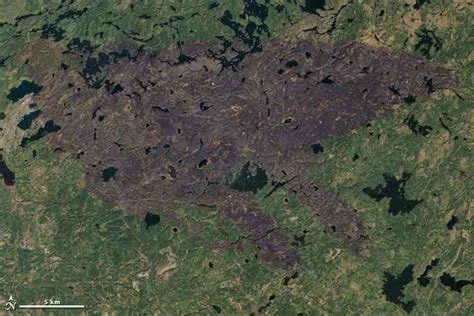
Fire Management
Cover large areas to detect fires, act on real-time information, and guide in firefighters.


See details, example imagery, and a case study:
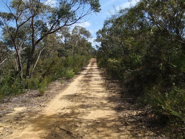
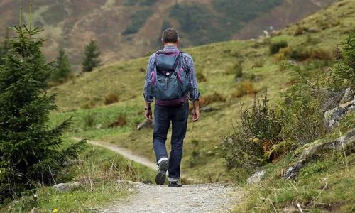
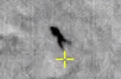
Search & Rescue
Search large areas to find people in need, and guide in a rescue team.
CAPABILITIES*
Airspeed: 60-120km/h
View: up to 1km wide
Zoom: 10x
Resolution: up to 2cm/px
Vision: switch between thermal and optical
Coverage: up to 60km2/h
Flight Area: up to 100km diameter
For an example of live stream footage, click the button below.
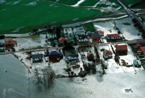
Emergency Response
Quickly acquire high resolution maps to effectively respond to an emergency situation.
CAPABILITIES*
Resolution: up to 2cm/px
Coverage: map up to 40km2/h
Flight Area: up to 100km diameter


* fly low for best resolution; fly high for best view width, coverage, and radius of operation
Scan large areas for fires, and monitor fire-fronts and hotspots in real-time.