
If you are interested in utilising our services, or have any questions,
contact us at team@ninox-robotics.com, call 1300 377 977, or request a quote below.
Animals
Act on real-time information, and make informed management decisions based on animal distribution maps.
CAPABILITIES*
Coverage: up to 15km2/h
Resolution: up to 2cm/px
Vision: switch between thermal and optical
Zoom: 10x
For an example of live stream footage and distribution maps, click the button below.
Uses


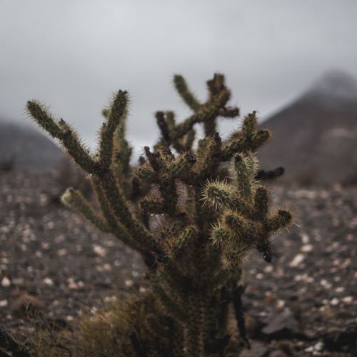
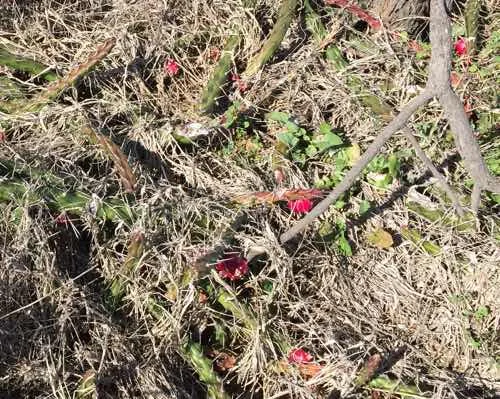
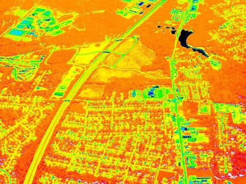
Weeds
Make informed management decisions based on weed distribution maps.
CAPABILITIES*
Resolution: up to 5cm/px
Coverage: map up to 25km2/h
Vision: near infrared
For an example of the map quality we provide, click the button below.
Uses
* fly low for best resolution; fly high for best view width, coverage, and radius of operation
Form distribution maps of weeds. These interactive maps represent detailed information in a clear and usable format.